
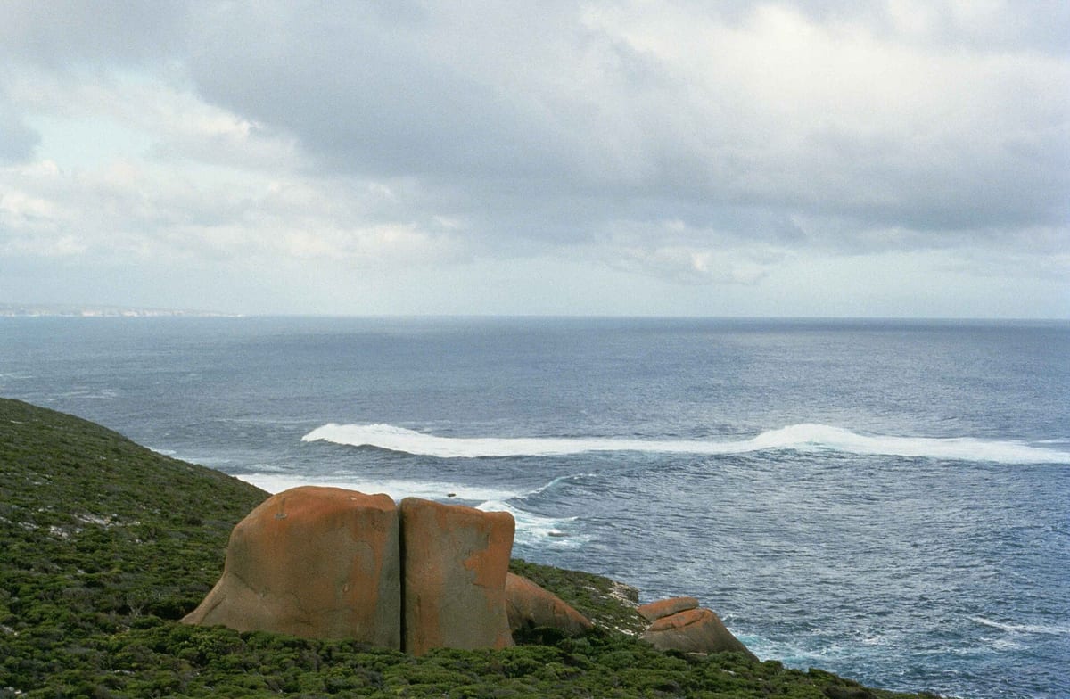
Kangaroo Island Earthquake: What Happened This Morning, and Why South Australia Shakes
At 7:48 on Tuesday morning, the cups rattled. Across Kangaroo Island, on the Fleurieu, through Adelaide's suburbs and down into the South East, people stopped what they were doing and asked the same question: was that an earthquake? It was. The Kangaroo Island earthquake, as plenty of us are already calling it, was a magnitude 4.9 that struck under the sea between the island and the state's south-east coast.
We live and work on the island, and like everyone else we wanted to know what actually happened, and what didn't. So we've gone to the people who measure these things and kept to what they've confirmed. Where something isn't known yet, we've said so.
What happened this morning
Geoscience Australia, the national agency that monitors earthquakes, has reviewed the event. Its official record (https://earthquakes.ga.gov.au/event/ga2026vgbdrg) shows:
When: 7:48am Adelaide time (ACDT), Tuesday 27 October 2026.Size: magnitude 4.9.Where: under the Southern Ocean, about 100 km south of Victor Harbor and about 100 km south-east of Penneshaw.How deep: roughly 15 km below the surface. Early reports said 10 km; the reviewed figure is about 15 km.Felt reports: more than 850 people had lodged one by mid-morning.
If you saw an earlier time of 6:18am online, that figure doesn't match Geoscience Australia's record, which puts the quake at 7:48am local time.
The ABC reported (https://www.abc.net.au/news/2026-10-27/earthquake-reported-by-residents-around-adelaide/107312622) no damage, and Geoscience Australia's senior seismologist Jonathan Bathgate said a quake of this size is far too small to cause a tsunami. About an hour and a half later, at 9:19am, the agency recorded a much smaller magnitude 2.2 quake in almost the same spot. No one had reported feeling that one.
Why does South Australia get earthquakes?
Most of the world's big earthquakes happen where two tectonic plates grind against each other, as they do in New Zealand, Japan and Indonesia. Kangaroo Island isn't on one of those edges. The whole of Australia sits in the middle of one large plate, and the nearest edge is far away in the Southern Ocean, between us and Antarctica.
But the plate isn't still. Australia is drifting north at roughly 7 cm a year. As it's pushed and squeezed, stress builds up in the rock. Every so often that stress lets go along an old crack, or fault, deep underground, and the ground shakes. Scientists call these intraplate earthquakes, meaning they happen inside a plate rather than at its edge. They're less frequent than at plate boundaries, but they're a normal part of life in South Australia, parts of which are among the more earthquake-active areas of the country.
Old cracks under the island
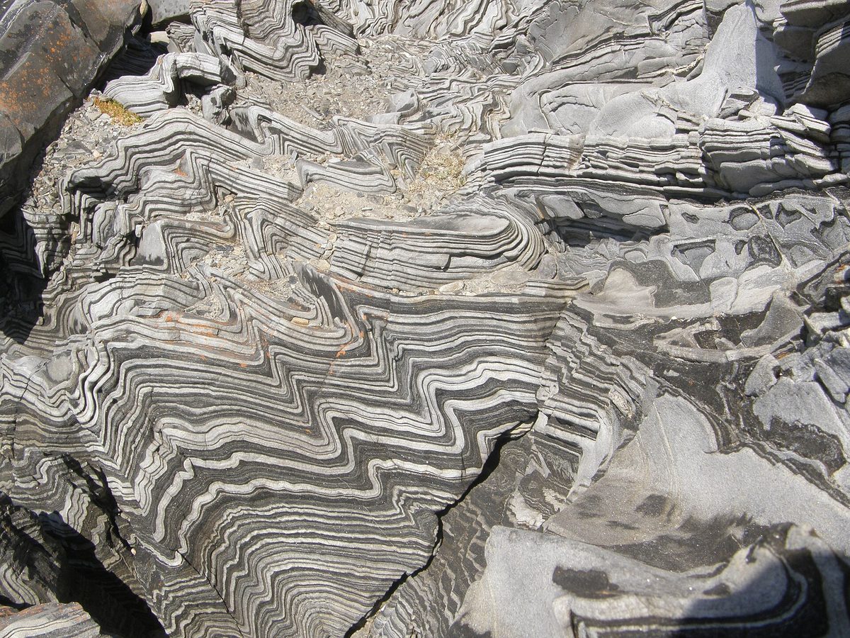
Kangaroo Island has plenty of those old cracks. A long fault system runs east to west across the island, known to geologists as the Cygnet–Snelling fault. The rocks to its south (in the photo above) started as mud and sand on an ancient sea floor, and were later crumpled and folded when mountains were pushed up here around 500 million years ago.
Recent research by scientists from the University of Melbourne and Geoscience Australia (https://aees.org.au/wp-content/uploads/2026/01/28.-Olivia-Kulesza-Final.pdf) used detailed laser maps of the ground to trace more than 300 fault-related features on the island, including some on the Dudley Peninsula that hadn't been mapped before. Their work suggests some of these faults have moved in the geologically recent past, and that they may carry on under the water of Backstairs Passage. They also point out that more seabed mapping is needed to know for sure.
Here's the honest bit: nobody has said which fault caused this morning's quake. It struck about 100 km out to sea, well away from the island's mapped faults. Linking it to any particular fault would be a guess, and we'd rather not guess.
Has this happened before?
Yes. In August 2025, a magnitude 3.6 quake north of Parndana was felt by more than 40 people (https://theislanderonline.com.au/news/2025/08/13/3-6-magnitude-earthquake-north-of-parndana-felt-by-at-least-40-people) on the island. Further back, in May 1897, an earthquake near Beachport, estimated at around magnitude 6.5, damaged buildings (https://knowledge.aidr.org.au/resources/earthquake-beachport-and-robe-south-australia) in Kingston, Robe and Beachport. It remains one of the largest in South Australia's recorded history.
Today's magnitude 4.9 was much smaller than that. The scale goes up in big steps: each whole number means roughly 32 times more energy released. A magnitude 4.9 is strong enough to rattle windows and spill a coffee over a wide area, which is exactly what people described this morning, but it's rarely strong enough to do real damage.
Who's listening: seismic stations on Kangaroo Island
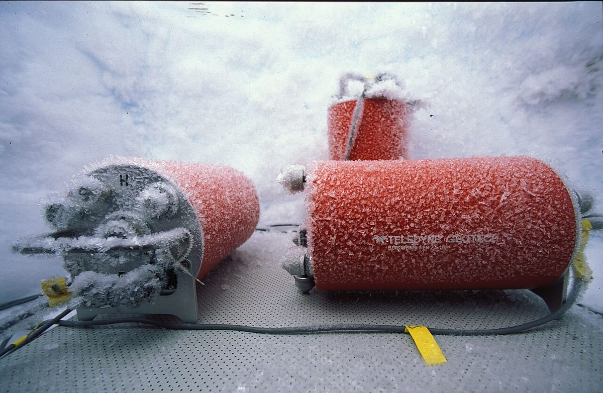
Earthquakes are measured with seismometers, instruments sensitive enough to pick up ground movement far too small for anyone to feel. If you're curious how they work, there's a good plain-English explainer on seismometers (https://en.wikipedia.org/wiki/Seismometer).
Geoscience Australia runs a permanent station on the island, known as KELC, in the island's south-west. This morning it was one of the three closest stations to the quake, about 160 km from the epicentre. The other two were at Flinders University in Adelaide and at Murray Bridge High School.
From 2023 until May this year the island had four more. Researchers from the Australian National University ran temporary stations at Borda Park on the western end, Cassini in the north, D'Estrees Bay on the south coast and Porky Flat on the Dudley Peninsula. They were part of a 20-station network across the island and the Eyre, Yorke and Fleurieu peninsulas (https://researchportalplus.anu.edu.au/en/publications/seismic-network-around-kangaroo-eyre-yorke/), set up to pick up small local quakes and give a clearer picture of the rock deep beneath this part of the state.
Some of South Australia's seismometers sit in schools. Murray Bridge High School's instrument belongs to the Australian Seismometers in Schools network (https://auspass.edu.au/networks/ausis.html), which streams live readings to the schools and to Geoscience Australia.
In all, 92 seismic stations recorded this morning's quake. To see where they are across South Australia and beyond, open Geoscience Australia's page for the quake (https://earthquakes.ga.gov.au/event/ga2026vgbdrg) and select Stations.
Could there be another one?
Small aftershocks are possible after a quake like this, and Geoscience Australia has said as much. Beyond that, no one can predict when, where or how big the next earthquake will be. Anyone who claims otherwise is guessing.
What you can do is know the drill. If the ground starts shaking: drop to the ground, take cover under a sturdy table or against an inside wall, and hold on until it stops. Stay away from windows and anything that could fall. If you're outside, move clear of buildings, trees and power lines.
Did you feel it?
If you felt this morning's quake, Geoscience Australia wants to hear from you. You can lodge a felt report (https://earthquakes.ga.gov.au/feltreport/ga2026vgbdrg) in a couple of minutes. Every report helps scientists understand how the shaking travelled, and from what we've read, people across the island and the mainland already have.
We'll keep an eye on the official record and update this post if anything significant changes.
A note on how this was made: we used AI to help research and write this post, and every fact in it has been checked against the sources linked above. All the photos are real, and their photographers are credited below.
Photo credits: header photo of the Kangaroo Island coast by Gary M. Stolz, U.S. Fish and Wildlife Service (public domain), via Wikimedia Commons (https://commons.wikimedia.org/wiki/File:Big_rocks_on_coast_of_Kangaroo_island_south_Australia.jpg). Folded rocks photo by Geomartin, CC BY-SA 4.0 (https://creativecommons.org/licenses/by-sa/4.0), via Wikimedia Commons (https://commons.wikimedia.org/wiki/File:Folded_Kanmantoo_Group_KI.JPG). Seismometer photo by Hannes Grobe/AWI, CC BY 3.0 (https://creativecommons.org/licenses/by/3.0), via Wikimedia Commons (https://commons.wikimedia.org/wiki/File:Seismometer.jpg).